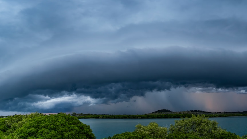
Queensland is preparing for severe thunderstorms and a heatwave today, with the Bureau of Meteorology (BOM) forecasting strong winds and large hailstones across significant regions. The storms are expected to impact areas from the New South Wales border, extending west to the Darling Downs and up the coast to Capricornia, Mackay, and the Central Highlands.
As storms loom, the risk of severe weather is expected to peak tomorrow as a surface trough moves through the state. Residents in Mackay are still recovering from a storm that struck the area on March 13, 2024. According to BOM forecaster Jonathan How, a supercell storm on Saturday could bring destructive winds, giant hail, and flash flooding to the same regions facing today’s threats. The areas of greatest concern through the weekend include the Gold Coast, Brisbane, and Sunshine Coast.
Severe Weather Forecast and Warnings
The BOM has indicated that today’s storm activity could start around lunchtime. How noted that if cloud cover develops early, the storms may be weaker than if the morning were sunny and clear. Last Sunday, parts of Brisbane experienced hail measuring up to five centimeters, underscoring the potential severity of these weather patterns.
Residents are urged to prepare their properties and stay informed about severe weather warnings. How described the current conditions as typical for this time of year, with Queensland in the midst of its summer storm season. The forecast indicates that hot and humid weather will persist in the southeast, with maximum temperatures reaching 27 degrees Celsius on the Gold Coast and 28 degrees Celsius in Brisbane.
In Far North Queensland, heatwave conditions are expected to persist, particularly in areas north of Cairns. Daytime temperatures in Cairns are forecasted to reach a high of 33 degrees Celsius. Rockhampton has been experiencing stormy weather throughout the week, with heatwave conditions becoming increasingly oppressive in the far western regions of the state.
Heatwave Conditions Across Queensland
According to How, temperatures in the far west, including the Channel Country, could reach into the high 30s to low 40s over several days. Birdsville is predicted to peak at 40 degrees Celsius today and could reach 42 degrees Celsius by Sunday. Heatwave conditions are likely to extend to Emerald, Roma, and Charleville over the weekend.
While a few storms are forecast for the north Queensland coast between Townsville and Cairns, they are not expected to pose the same risks as those predicted further south. The BOM anticipates that temperatures across Queensland will gradually decline in the latter half of next week, providing some relief from the ongoing heat.
In summary, Queensland is on high alert as severe storms and heatwave conditions threaten to impact the region. Residents are advised to stay informed and take precautions as the weather unfolds.


