URGENT UPDATE: Severe storms have wreaked havoc across eastern Australia this weekend, leaving millions grappling with the aftermath of destructive winds and giant hailstones. As of Saturday, the Bureau of Meteorology has confirmed that regions from central Queensland to northern New South Wales (NSW) are experiencing intense weather conditions, with more rain expected shortly.
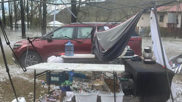
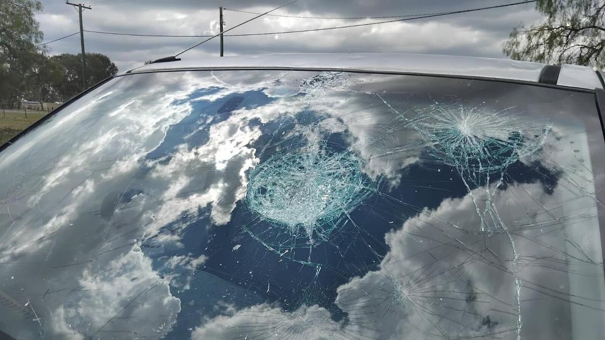
The storms unleashed hailstones measuring up to 9cm wide and wind gusts reaching 100 km/h. Reports indicate widespread damage, including shattered car windows and homes throughout the affected areas. Thousands remain without power, highlighting the storms’ severe impact on local communities.
In a shocking account from Pratten, Richard Manley, owner of MJ’s Cafe & Bar, described the chaos as hail nearly the size of tennis balls shattered their skylights. “Basically all the cars in the car park had their windscreen smashed, and a Land Cruiser lost nearly every panel on the car,” he detailed to AAP.
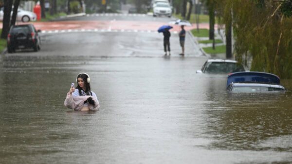
Rainfall has been particularly heavy, with 54mm recorded in just half an hour at Barongarook on the Southern Downs. Additionally, Dalby Airport reported wind gusts of 104 km/h, underscoring the storm’s ferocity. In NSW, areas such as the Hunter and mid-north coast saw hailstones as large as 7cm, while Grafton in the Northern Rivers region recorded a staggering 70mm of rain in just half an hour.
The Bureau of Meteorology has issued warnings for ongoing storm activity into Sunday, though the forecast suggests a reduction in severity. “Many places will not see the same risk,” stated forecaster Angus Hines. Despite this, he cautioned that the Sunshine State could still face severe thunderstorms, particularly from Brisbane to Bundaberg.
Residents are urged to stay vigilant as conditions remain volatile. The bureau continues to monitor the situation closely, providing updates as new data comes in. Authorities recommend staying indoors during severe weather events and preparing for potential evacuations in at-risk areas.
As the storm system progresses, further developments are likely. Stay tuned for updates on this rapidly evolving situation as communities assess the damage and brace for more weather challenges ahead.


