



































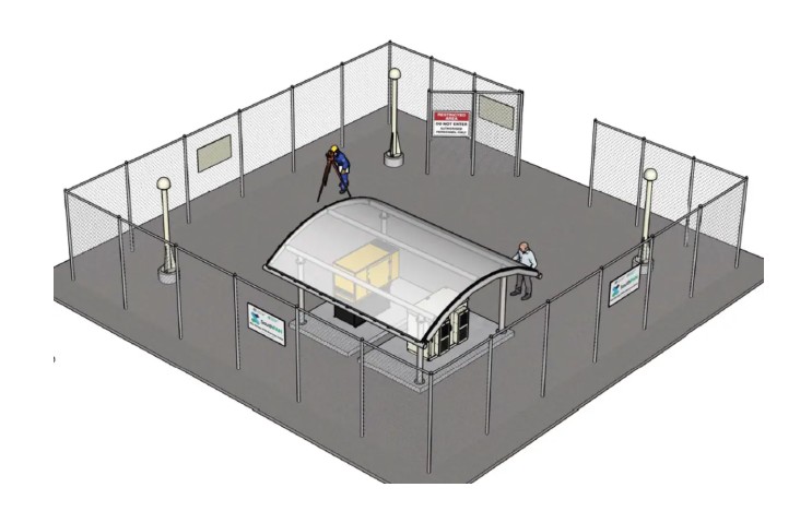
An American defence contractor, Lockheed Martin Australia, has submitted a proposal for a new facility that aims to enhance global navigation capabilities near Alice Springs. The planned “global navigation satellite system reference station” will be located on Ilparpa Road, close to the region’s notable claypans. This facility is designed to provide positioning accuracy to within 10 centimetres, raising questions about its intended applications.
The initiative forms part of the broader Southern Positioning Augmentation Network (SouthPAN), which is managed by Geoscience Australia. The network will consist of 23 reference stations across the country, equipped with telecommunications infrastructure, computing centres, and signal generators. These stations will receive signals from satellites, conduct signal measurements, and relay data to the Corrections Processing Facility located in Uralla, New South Wales.
Residents in the surrounding area have expressed concerns regarding the rapid approval timeline for the project. One local resident noted a purple sign announcing the proposal and remarked, “We’re only getting two weeks to object to the development (comments closing on February 20, 2026). It’s not good. Lockheed Martin is connected with Pine Gap. I wonder why they won’t just build it elsewhere.”
Official documents from both Geoscience Australia and the Australian Government clarify that while SouthPAN is primarily designed as a civilian system, it possesses capabilities that could support military operations. The system aims to improve positioning accuracy and integrity for various sectors, including civil aviation, emergency services, surveying, construction, transportation, rail, and mining.
Although the system is not explicitly created for military use, its high-precision positioning could facilitate military logistics, vehicle navigation, and drone operations. The dual-use nature of such technology raises important discussions about its implementation and governance.
As the proposal enters the public review phase, stakeholders will monitor community responses and the potential implications of this development on both local residents and broader national interests. The outcome of these discussions will likely influence future projects involving advanced navigation systems in Australia.