


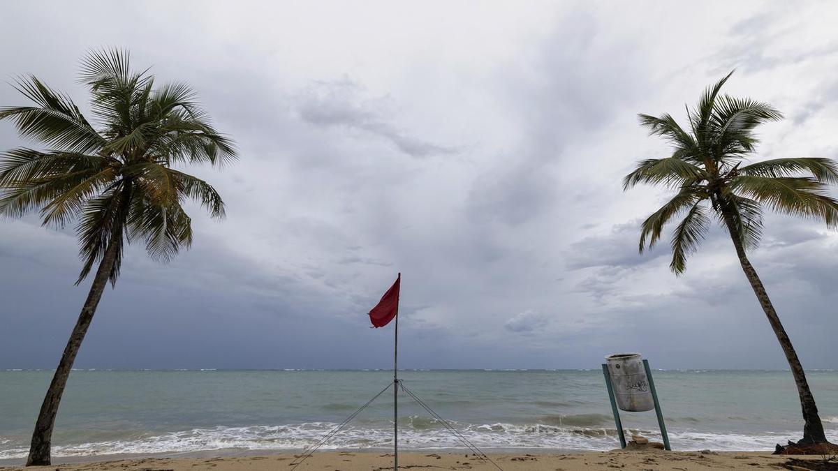
UPDATE: Hurricane Erin has officially been downgraded to a Category 3 storm but is forecast to strengthen as it approaches Puerto Rico and the Virgin Islands. The latest data from the National Hurricane Center confirms that Erin’s outer bands are already impacting these regions, bringing heavy rainfall and strong winds.
The storm currently boasts maximum sustained winds of 115 mph. However, meteorologists predict that Erin could regain strength over the next few days. Residents of affected areas are urged to take immediate precautions as conditions are expected to deteriorate rapidly.
Heavy rains and strong winds are already being felt across Puerto Rico, with reports of localized flooding and power outages. Authorities advise residents to remain indoors and stay tuned for updates as the situation evolves.
Officials are closely monitoring Erin’s trajectory, which is projected to shift towards the northern Caribbean. The storm’s potential to strengthen poses significant risks, particularly for coastal communities. Emergency management teams are on high alert and preparing for possible evacuations.
Forecasts indicate that Erin may expand in size, increasing the area affected by its powerful winds and torrential rain. This situation is developing, and updates will continue to emerge as the storm progresses.
Residents are encouraged to check local advisories and have emergency supplies ready. The impact of Hurricane Erin could be severe, and swift action is crucial to ensure safety.
Stay tuned for further updates as this urgent story develops.