


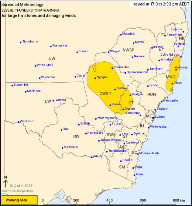
URGENT UPDATE: The Bureau of Meteorology (BOM) has just issued a severe thunderstorm warning for parts of New South Wales, highlighting the risk of large hailstones and damaging winds. Areas including Orange, Dubbo, Parkes, Mudgee, Port Macquarie, and Taree are expected to be severely impacted. The warning was officially released at 2:30 PM on October 17, 2023, and the severe weather is likely to persist for several hours.
Severe thunderstorms are currently developing over the central west and are progressing towards the mid north coast. According to BOM, a “warm and unstable” environment is interacting with a surface trough, creating conditions ripe for these dangerous storms. Residents are urged to take immediate precautions.
The State Emergency Service (SES) is advising individuals to secure loose items in their yards, park cars away from trees, and remain indoors during the storm. The warning encompasses regions in the Mid North Coast, Central Tablelands, Central West Slopes, and Upper Western Forecast Districts.
Additional severe thunderstorms are anticipated to develop over other central and eastern parts of the state throughout the afternoon and may extend into the evening. This situation poses a significant threat to public safety, and residents are encouraged to stay informed through updates from the BOM and SES.
As conditions continue to evolve, the BOM is closely monitoring the situation. Stay tuned for further updates and ensure your safety by adhering to official guidance.
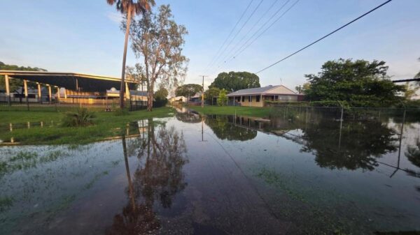
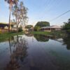
The impact of these storms could lead to power outages, property damage, and hazardous travel conditions. Stay safe and make sure to share this information with others who may be affected.