


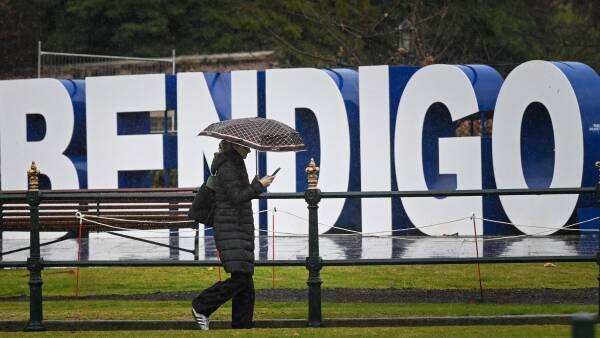
UPDATE: Residents of Bendigo are being urged to prepare for an impending deluge, with forecasts predicting up to 60 millimetres of rain from Friday, July 22 through Sunday. The Bureau of Meteorology has confirmed that a significant rain band and cold front are set to impact the region, bringing heavy winds alongside the rainfall.
From Tuesday, an initial band of rain is expected to deliver between 5mm and 22mm across the area, but the main event will unfold over the weekend. According to a bureau spokesperson, “On Friday and the weekend, a more significant slow-moving rain band will move over Victoria.” This rain could bring a total of 30-60mm to Bendigo, raising concerns for local residents and businesses alike.
As of July 22, Bendigo has already recorded 36.6mm of rain this month, falling short of the average July rainfall of 52.2mm. The city has not met its average for the past three years, but the winter average remains within reach, with total rainfall this winter hitting 101.8mm as of 9 AM today.
The historical context intensifies the urgency; Bendigo Airport recorded its highest daily rainfall for July at 30.2mm on July 24, 2003. Comparatively, the old Bendigo Prison site logged 49.3mm on July 11, 1933. The community’s vulnerability is heightened, especially considering that recent years have seen less than 50mm of rainfall in July.
Authorities advise residents to stay tuned for updates as conditions evolve. The forecast indicates a marked increase in rainfall intensity, which could lead to localized flooding and hazardous conditions.
Prepare now: check your emergency supplies, secure outdoor items, and stay informed as we monitor this developing situation. Share this urgent update with friends and family to ensure everyone is aware of the potential impact this weekend.