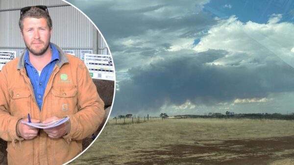


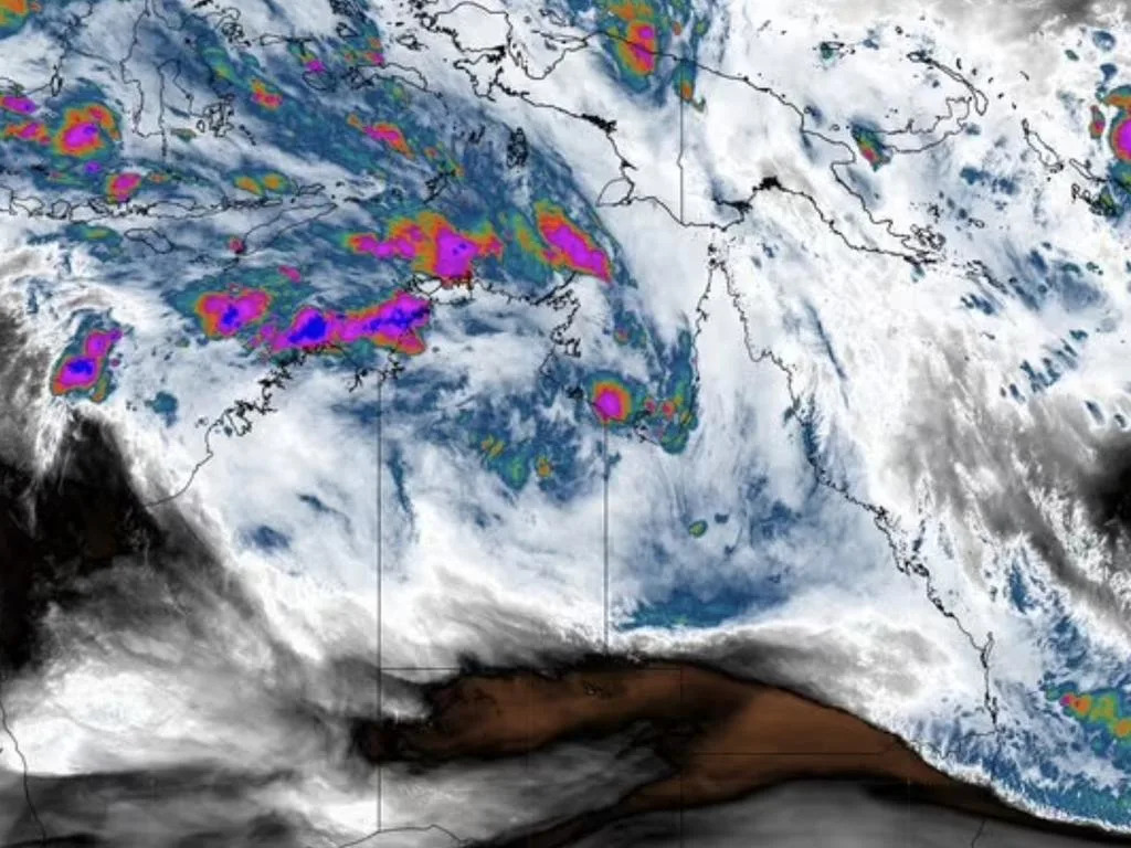
BREAKING: Monsoon rains are set to unleash devastating floods across parts of the Northern Territory and Queensland this Christmas, prompting urgent flood watch alerts. Just hours ago, the Bureau of Meteorology confirmed that the early onset of the monsoon has already drenched the NT’s Top End with over 100mm of rain in just 24 hours, with forecasts predicting even heavier rainfall as the holiday period unfolds.
This weather system is expected to intensify over the coming days, with widespread rain anticipated throughout the NT and Queensland from now into early January. Flood watches are in place for significant areas including the Barkly, Carpentaria, and Arnhem Coastal Rivers in the NT, as well as parts of northwestern Queensland. Authorities warn that as rivers swell, flood warnings are likely to follow shortly.
Residents are urged to prepare for potential road closures in outback regions as the deluge moves toward eastern Queensland just ahead of New Year’s Eve. The risk of flooding could disrupt travel plans for many holidaymakers and locals alike.
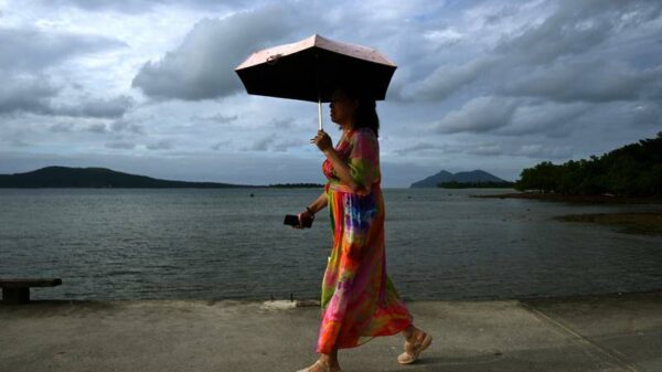
Meanwhile, in Melbourne, those hoping for a sunny Christmas will face disappointment as the city braces for its coldest Christmas Day in 19 years. With temperatures expected to linger between 12 and 18 degrees Celsius, a few showers are predicted. Those who’ve relocated to inner regions can expect slightly warmer weather, but the forecast indicates statewide warming later in the week.
Adding to the urgency, a severe heatwave is set to hit Western Australia from December 23-25, with temperatures soaring into the high 30s and low 40s in cities like Perth. Residents are advised to stay informed on heatwave safety guidelines and remain vigilant.
As for Queensland, the rain is expected to continue unabated between Christmas and New Year, particularly affecting central and northern regions—from the Central Coast up to the Gulf of Carpentaria and into the NT. The Bureau will closely monitor the development of storm systems during this festive period, urging residents in impacted areas to keep an eye out for updates and warnings.
Stay tuned for continuous updates as this developing situation unfolds. Your safety is paramount during this unpredictable weather event.